History we should know: How the Potomac shaped our community
/Discover how the river's landscape, natural resources, and wildlife have sustained generations

photo courtesy of f. delventhal via flickr (CC BY 2.0)
We acknowledge that the Potomac River and Chesapeake regions are the traditional land of the Powhatan, Piscataway, and Nanticoke peoples.
Have you ever stopped to wonder how the Potomac River has shaped the community in which we live?
Rivers, like the Potomac, are never idle. They are in a constant state of motion, meandering through diverse landscapes and swelling ever larger as they absorb flowing water from tributary streams.
Rivers change their course over time, and they also change the communities that they sustain.
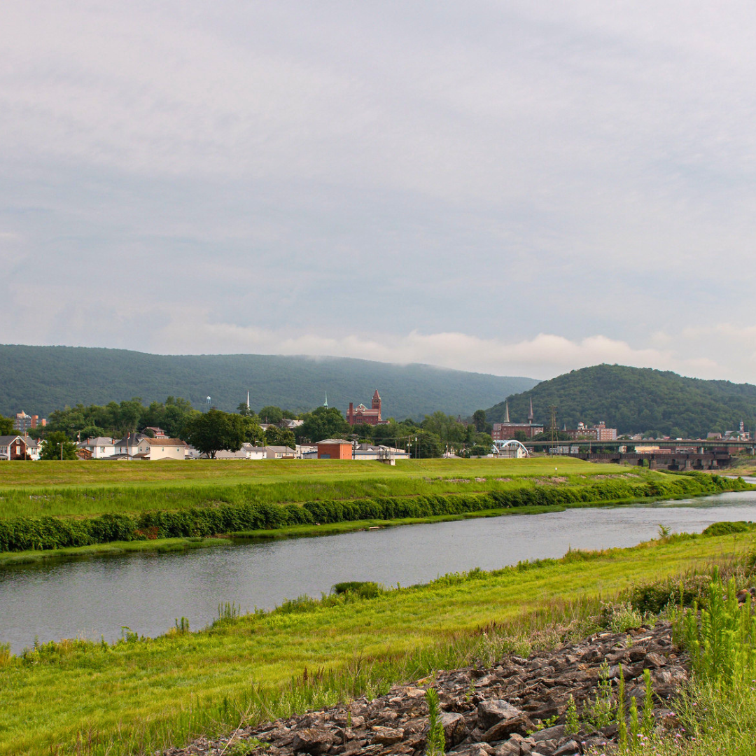
The Potomac River flows through 400 miles of geologically and ecologically rich landscape stretching from the Potomac Highlands of West Virginia all the way into the Chesapeake Bay. It has been shaping and re-shaping its physical surroundings for over 3 million years when it was first formed—and for thousands of years, it has played a critical role in the lives of the communities that settled along its banks.
Early settlements along the river
Humans first started inhabiting the Potomac River region 14,000 years ago. Native Americans lived all along the shores of the river, making it a popular trade area. One of the oldest known settlements is around Indian Point, where the Patawomeck village existed.
The name “Potomac” comes from this village, though stretches of the river were called different names by Native Americans.
Although the first English settlers set roots in Jamestown, Virginia, in 1607, Captain John Smith explored the Chesapeake Bay and the Potomac, and created a map of the region. This map was later published in England, leading to the eventual Europeanized name for the river.

john smith’s map of the potomac river, 1608. image is in the public domain.
The Chesapeake region’s abundant natural resources made it an excellent location for living, and many Native Americans called this place home. Three major Native chiefdoms lived in the area: the Powhatan, the Piscataway, and the Nanticoke. These people fished in the rivers, hunted on the land, used native plants for medicine, and grew food in the rich soil—they had deep roots in the land long before colonizers came.
In 1607, the first English settlers came to establish Jamestown, Virginia, and they struggled with farming in unfamiliar soil. The Powhatan people gifted them food so they could survive. However, the English did not maintain peaceful relations and set their sights on taking more land from the Native people, raiding their villages and stealing their food.
Native people also suffered from new illnesses from across the sea. Smallpox, cholera, and measles swept through tribes, causing many to die.
After seeing the success of Virginia’s tobacco crop, more colonists came to America, moving up further north and claiming large portions of land for their own plantations. As well as continuing the persecution of Native people, this had devastating consequences for the environment. The plantations required plenty of deforestation. The runoff got so piled up at the bottom of the Anacostia River that it became impassable by boat in the mid-1800s.
In an effort to make peace, the tribes agreed to treaties with the English. These treaties supposedly granted Native people the right to hunt on the land taken from them, fair treatment under the law, and reservations where they could live separate from the English, but these were empty promises.
As the years went on, Native people were expected and largely forced to assimilate into the colonizers’ society, though many fought for their civil rights and to keep their cultures alive. Today, members of the Powhatan, Nanticoke, and Piscataway tribes have strong communities dedicated to upholding their cultures and traditions.
While the English continued to establish their colonies, the Potomac River played a role in determining colony boundaries as time went on. The Fairfax Stone was placed as a boundary marker at the source of the northern branch of the river to demarcate the Maryland and Virginia colonies. Later, this same boundary point was used to determine the border between Maryland and West Virginia. While the original stone was lost to history, there have been numerous replacements. You can see a monument on the site today at the Fairfax Stone Historical Monument State Park in West Virginia.

fairfax stone marking the source of the potomac river. photo courtesy of ozinoh via flickr (cc BY-NC 2.0)
Promise of wealth
The river provided resources such as food and water, but colonists soon realized its potential to generate energy and power mills. Some were used as saw mills and produced lumber, some were used to cut stone or mill grain, paper, wool or bone.
Our Nation’s first president George Washington—who was born and died near the river—saw the Potomac as a highway between the East and the West. As part of the Compromise of 1790, he chose the land that is now Washington, DC, to serve as the nation’s new capital, truly making the Potomac the Nation’s River.
Washington also instigated the building of a canal for more trade opportunities. In 1785, work began on the Patowmack, or Potomac, Canal and ended in 1802. The waterway remained operational for 26 years before the company running it went bankrupt. Parts of the canal were later reused for another canal project.

view of the potomac river from george washington’s mt. vernon estate. photo courtesy of jim surkamp via flickr (CC BY-NC 2.0).
One of Washington’s more lucrative uses of the river was fishing. In the 18th century, the Potomac was teeming with fish. Washington once described it as "well-stocked with various kinds of fish in all Seasons of the year, and in the Spring with Shad, Herring, Bass, Carp, Perch, Sturgeon, etc. in great abundance ...the whole shore, in fact, is one entire fishery.”
While he wasn’t alive to see it, Washington’s dream of a river highway to the West didn’t die with the Potomac Canal: in 1828, construction began on the Chesapeake & Ohio Canal, which was intended to serve as a direct line for trade. A total of 7 dams diverted water into the canal.

photo courtesy of Boston Public Library via flickr (CC BY 2.0)
But by the time the canal became fully functional in 1850, railroads were already up and running, and provided much more efficient transportation.
The canal still transported bulk goods, such as coal, lumber, and wheat, and it remained operational for almost 100 years until it was damaged beyond repair by a flood in 1924.
🌳 Did you know? Several decades after the canal was decommissioned, Supreme Court Justice William O. Douglas advocated for it to become a National Park. In 1971, C&O Canal was officially made a National Park. With more than 20,000 acres, 1,000 historic structures, 100 rare and threatened species, the canal is now the 11th most popular National Park in the country, with over 5 million visitors annually.
Corridor to freedom
The Potomac River was the setting for several significant battles in the Civil War, such as the Battle of Ball’s Bluff and the Battle of Shepherdstown. In October 1859, abolitionist John Brown led a raid on Harpers Ferry in an attempt to destroy the institution of slavery.
And, the Union’s most powerful army was named after the river. The Army of the Potomac fought most battles in the Eastern theater of the war, their efforts instrumental to the Northern victory.

harpers ferry: the site of john brown’s raid in october 1859. image is in the public domain.
While providing inspiration to soldiers and generals, the river also offered a route for escape attempts by enslaved people.
Within the Underground Railroad network, the Potomac River was a corridor to freedom. Its rich and abundant forestry offered hiding spots for escapees, and the topography created many lookout areas that bolstered escape routes. The river is also shallow enough at certain points for people, wagons, and horses to cross.
The Pearl Incident is the largest known attempted escape of enslaved people that partially happened on the Potomac River. On April 15, 1848, 77 enslaved people boarded a ship called The Pearl in Southwest DC in hopes of making it to freedom in New Jersey. Even though the attempt was unsuccessful, it inspired at least two notable efforts to end slavery (one by Abraham Lincoln and the other by Harriet Beecher Stowe).
➡️ You can experience what it was like to make the journey to freedom on the Underground Railroad Experience Trail in Sandy Spring, MD. Guided hikes are available to learn more about the trek and the people who made it.
From “The Nation’s River” to “A National Disgrace”
But as much as the river has shaped human lives, humans have inevitably shaped it back.
Washington’s influential fishing enterprise had consequences—overfishing became a huge problem for the river in the 19th and 20th centuries. In one harvest during the 1830s, 22.5 million shad and 750 million herring were taken.
An ever-growing human population surrounding the river meant habitat destruction and resource depletion. In the 1940s, DC’s population doubled, and the Potomac River faced an onslaught of challenges that came from rapid population growth and urbanization.

a bald eagle surrounded by plastic pollution floating in the potomac river. photo courtesy of Geoff Livingston via flickr (CC BY-NC-ND 2.0),
Without proper treatment systems in place, raw sewage flowed into the river. Deforestation, mining, and farming also contributed to poor water quality. Acid drainage from abandoned coal mines had devastating effects on aquatic life.
Excess nitrogen, phosphorus and sediment from these activities contaminated streams and rivers, causing algae blooms and damaging water quality. This posed major health risks as most of DC’s drinking water comes from the Potomac.
“The Potomac… serves as a great 'open sewer' " —ICPRB Newsletter, February 19, 1949
In 1957, the Public Health Service declared the Potomac River unsafe for swimming. The situation got so bad that in 1965, President Lyndon B. Johnson called the Potomac “a national disgrace” because of the rampant pollution.
Freshwater saline levels also began to skyrocket as applying salt to roads in winter became common practice, a problem the Potomac still faces today. Too much salt makes rivers and streams less habitable for fish, contaminates drinking water, and poses health risks to communities.

a sign warns against entering the potomac in 1972. photo courtesy of erik calonius (EPA). image is in the public domain.
Where does that leave us today?
The Clean Water Act of 1972 laid the groundwork for recovery and improving water quality, though the damage done was not so easily reversible.
The trend of overfishing continued well into the modern century, until 1983 when a ban was placed on shad fishing. Decades of overharvesting and poor water quality decimated the once abundant amounts of this fish.
Since then, restoration efforts have strengthened fish populations, with the project ending in 2014. For the past 20 years, shad in the Potomac have served as a major egg source for its tributaries and other rivers, such as the Rappahannock River in Virginia, the Susquehanna River in Maryland and Pennsylvania, and some of Delaware’s rivers.
🐟 The species name for American shad, sapidissima, means “delicious.” Though the bony fish (769 bones to be exact) might be off-putting to some today, these fish were an important part of many Native American diets, and George Washington and other people of the time were well known to chow down on shad.
In recent decades, the health of the river has slowly improved. Today, people can enjoy paddleboarding and kayaking on the water, and hiking and cycling on trails near the river. Communities can gather in the wealth of parks throughout the region, soaking up the many physical and mental benefits that the area offers.

recreation on the potomac river. photo courtesy of ehpien via flickr (CC BY-NC-ND 2.0).
In the 2023 Potomac River Report Card, our howetown river scored an overall grade of B, a slight improvement from just three years ago. However, polluted runoff, deforestation, and the climate crisis continue to threaten the river, and it’s not yet safe to swim in or eat fish from parts of the water. That means there’s still work to be done to make the Potomac safe and clean for all to enjoy.
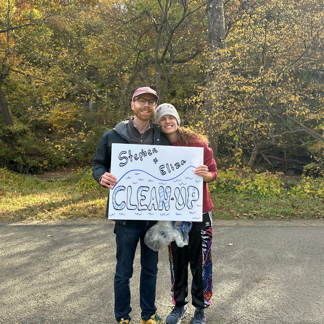
The good news is that we have the power to shape the river positively: many have come together to participate in litter cleanups and advocate for further protections for clean water. Saving forested land and planting new trees and shrubs can bolster the river’s defenses, and allow the Potomac River to continue to be an integral part of our communities.