
Don’t live near the Potomac River’s mainstem? Check out these tributaries in the Potomac River Region!
/These Potomac River Tributaries support water quality downstream and offer a multitude of recreational opportunities
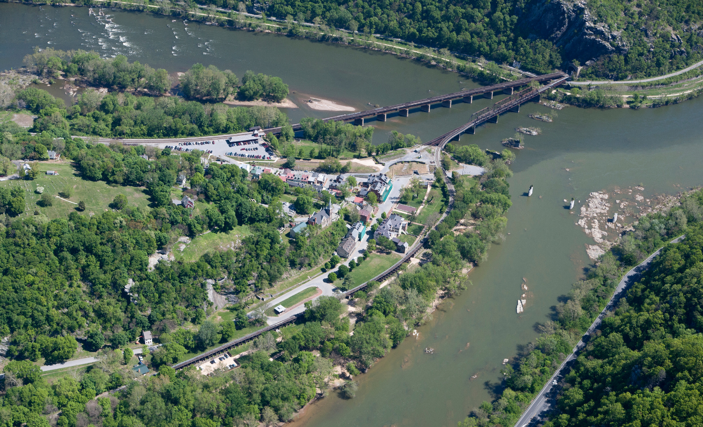
Ariel view of harpers ferry in the summertime
The Potomac River region is huge! Originating in the Allegheny highlands of West Virginia, the waterway flows for more than 380 miles before meeting the Chesapeake Bay in southern Maryland, winding through a watershed extending over nearly 14,670 square miles – and into four states plus the District of Columbia. Over five million people rely on the waterway to supply their drinking water. Just because you don’t live or recreate near the mainstem of the Potomac River doesn’t mean you don’t benefit from it!
The Potomac River has thousands of miles of tributaries – and paying attention to these small streams really matters! These waterways feed the mainstem of the Potomac River. So, upstream conditions directly impact downstream water quality. Tributaries also provide vital habitat for wildlife, supporting rare species like freshwater mussels and boosting overall biodiversity. This species richness creates more redundancy at every level, improving ecosystem function and making these ecological communities more resilient to climate change.
The Potomac River’s tributaries are also a part of our region’s cultural heritage. Winding through West Virginia, Maryland, Pennsylvania, Virginia, and DC, these waterways provide recreational opportunities to communities through the Potomac River region. Protecting these vital tributaries supports wildlife, promotes climate resilience, and generates recreational opportunities – benefiting everyone in our region!
The Anacostia River, Maryland and Washington, DC
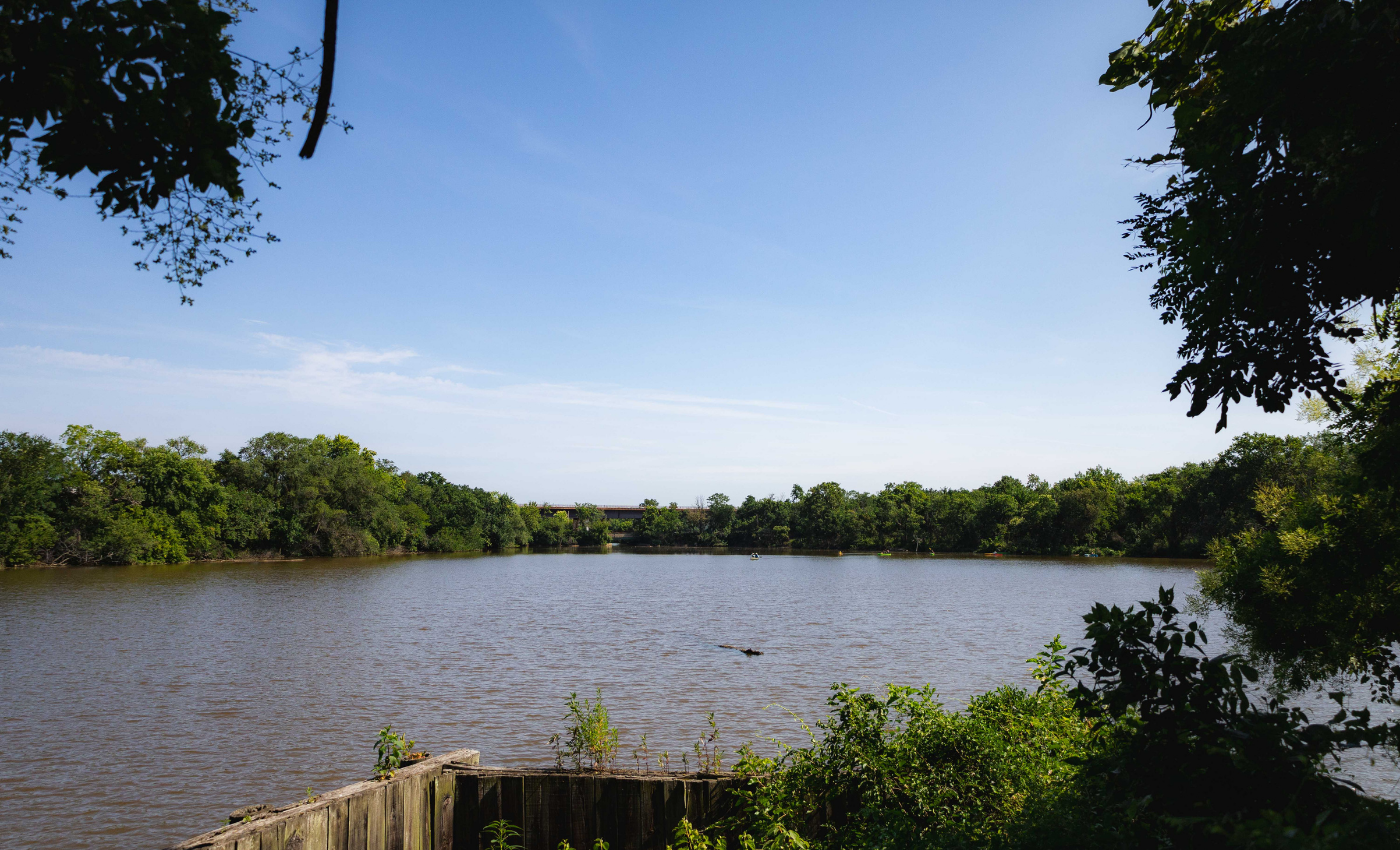
VIEW OF ANACOSTIA RIVER. PHOTO CREDIT: JENN LOVING
Flowing through Washington, DC, and the Maryland suburbs, the mainstem of the Anacostia River runs for almost nine miles from Bladensburg, Maryland, to the Potomac River at Hains Point, the peninsula at the southern tip of East Potomac Park in Washington, DC. The ancestral home of the Nacotchtank people, the Anacostia River’s heavily developed urban watershed now extends into Washington, DC, and Montgomery and Prince George’s counties in Maryland.
By the end of the 19th century, agricultural expansion and population growth around the capital were already causing untreated sewage and stormwater runoff to spill into the tidal river. During the decades that followed, industrialization only intensified - and more forests and wetlands were destroyed in the process. Ultimately, the Anacostia River became one of the most endangered waterways in the country. Over the last four decades, though, efforts to restore the river have improved water quality. In 1987, the Anacostia Watershed Restoration Act was passed, and two years later, the Anacostia Watershed Society was formed. Today, the Anacostia Riverkeeper also monitors water quality and advocates for policies protecting the river. Restoration efforts have also catalyzed the development of recreational opportunities along the river.
Part of Anacostia Park, the Anacostia River Trail parallels the waterway for 12 miles, from Bladensburg to Navy Yard. While on the water, the nine-mile Anacostia River Trail features multiple access points for paddlers. We host cleanups along the Anacostia throughout the year to keep it clean for everyone to enjoy!
The Shenandoah River, Virginia
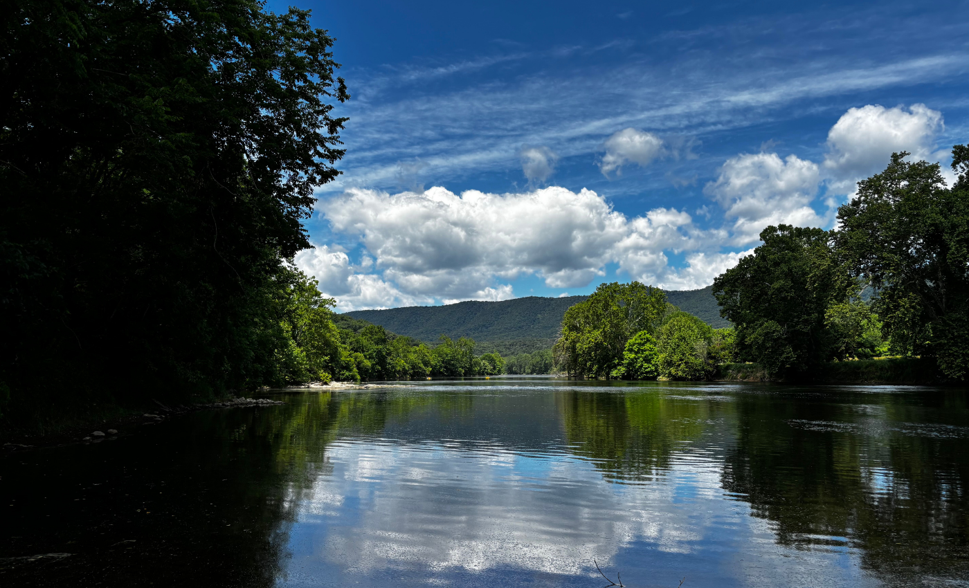
SHENANDOAH RIVER. PHOTO CREDIT: MALEE OOT
Originating in the Allegheny and Blue Ridge Mountains, the Shenandoah River is the largest tributary flowing into the Potomac River. The river consists of a North Fork and a South Fork, and these two branches each flow for approximately 100 miles before meeting in Front Royal, Virginia. After the two forks join, the waterway flows for nearly 60 miles before converging with the Potomac River in Harpers Ferry, West Virginia. Expanding development and agriculture have impacted the waterway. In particular, agricultural runoff laden with excess nutrients like nitrogen and phosphorus from fertilizer and livestock waste drives toxic algal blooms. However, there are active efforts to protect and restore the river, including initiatives protecting the vital streamside forests that buffer the waterway from harmful runoff by filtering agricultural waste and sediment.
Efforts to protect the waterway have helped make the Shenandoah River a recreational hub – and for paddlers, the nearly 22 miles of stretch of the waterway flowing through Clarke County is designated as a Virginia Scenic River.
The Cacapon River, West Virginia
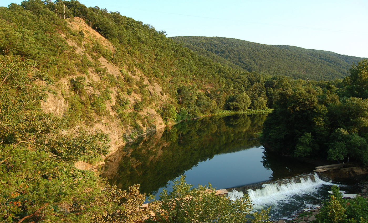
VIEW OF CACAPON RIVER. PHOTO CREDIT: Mark Plummer CC BY-NC-ND 2.0
Flowing through the Eastern Panhandle region of West Virginia, Cacapon River is actually two rivers. The 31-mile upper portion is known as the Lost River, because the waterway disappears underground in Hardy County, remerging at the Cacapon River near the town of Wardensville. The south-to-north flowing river then continues weaving through West Virginia before joining the Potomac River close to the community of Great Cacapon, approximately 80 miles west of Washington, DC. The 112-mile waterway weaves through a mostly forested watershed and traces the edge of the George Washington National Forest. For paddlers, the Cacapon Water Trail is studded with regional highlights and access points – and Cacapon Resort State Park and Lost River State Park are both situated along the course of the river.
The North Branch, West Virginia and Maryland
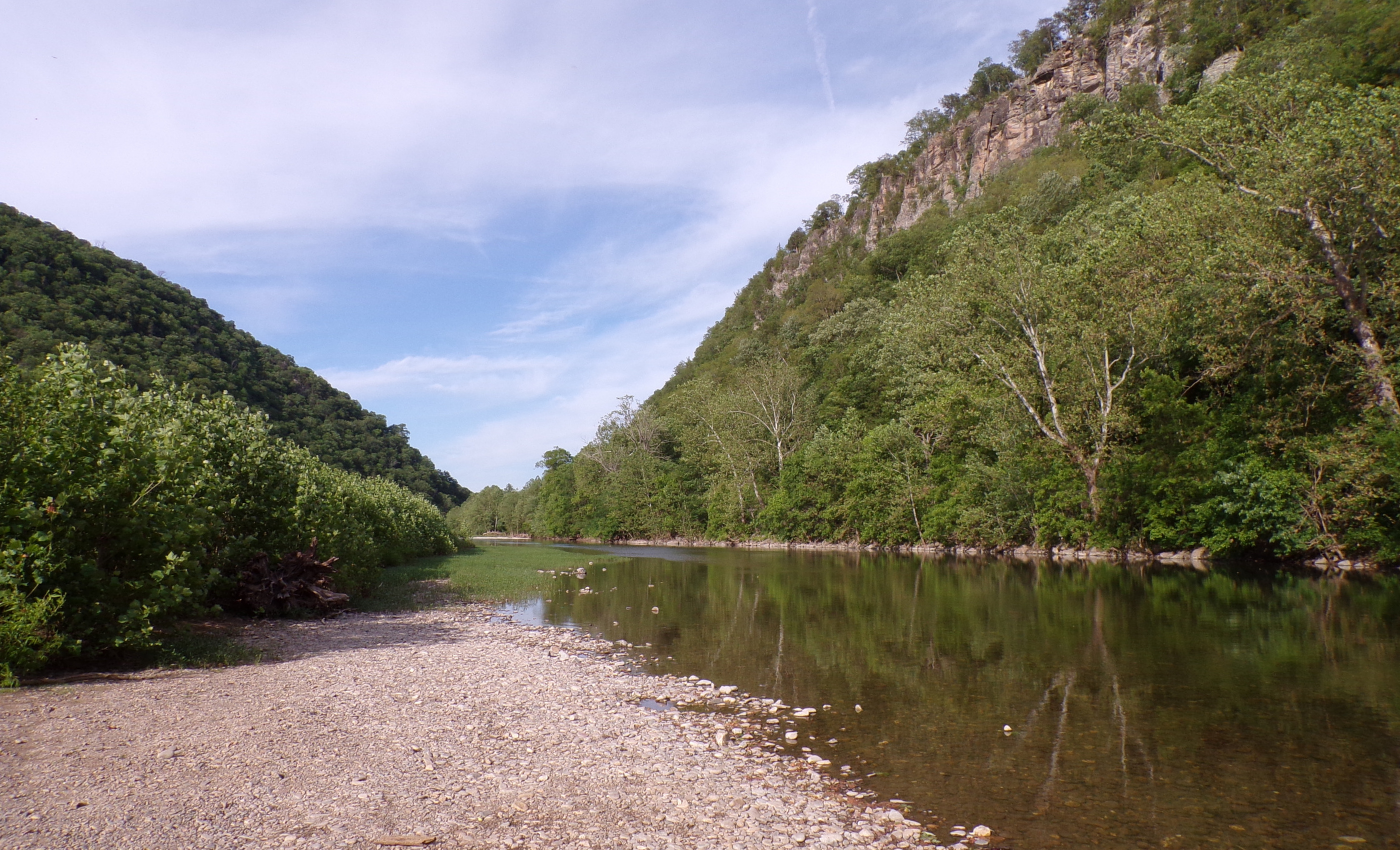
North branch of THE potomac river. Photo credit: malee Oot
Originating at Fairfax Stone in the Allegheny highlands of West Virginia (the monument marking the western boundary of land once owned by Lord Fairfax), the North Branch of the Potomac River forms the boundary between Maryland and West Virginia. The nearly 100-mile waterway joins the South Branch to form the main stem of the Potomac River at Potomac Forks just east of Green Spring in West Virginia. For more than two centuries, the tributary has been impacted by industrialization and natural resource extraction – particularly coal mining.
For many decades, the upper portion of the waterway was considered ecologically dead. Restoration efforts over the last sixty years, including clean water legislation, along with federal and local conservation partnerships, have helped to improve water quality. Now, portions of the North Fork are stocked with trout, and in the early 1980s, the waterway was dammed to form 915-acre Jennings Randolph Lake, a recreational destination shared by Maryland and West Virginia.
The South Branch, West Virginia
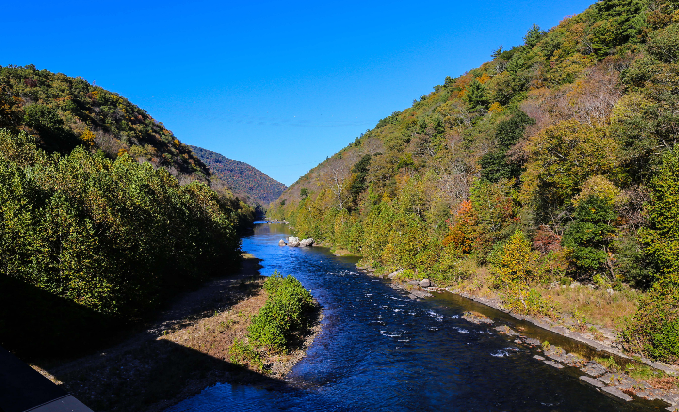
South branch of potomac river with mountains in the background
Originating at the edge of the Allegheny Front in Virginia near the community of Monterey, the South Branch quickly winds into West Virginia, charting a course through the state’s Eastern Panhandle region before joining the North Branch. A stretch of the 131-mile waterway sluices through the Monongahela National Forest and splices the half-mile-high gorge formed by Cave Mountain and North Mountain – Smoke Hole Canyon. Agriculture and development in the river’s watershed have created conservation challenges, including habitat fragmentation and runoff that threatens water quality.
In 2015, Potomac Conservancy purchased White Horse Mountain, a biodiversity-rich mountain that parallels the South Branch, and turned the land over to the state of West Virginia. For the last decade, the 1,700-acre tract has functioned as a park open to the public, offering a multitude of recreational opportunities while preserving globally rare plant species and protecting water quality in this important Potomac River tributary.
Antietam Creek, Maryland and Pennsylvania
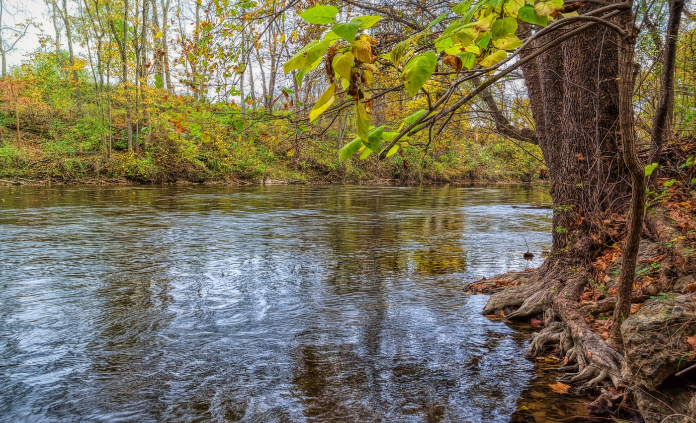
ANTIETAM CREEK IN THE FALL
Originating in Pennsylvania's Michaux State Forest, Antietam Creek flows south through Maryland, meeting the Potomac River in Sharpsburg, Maryland. The mainstem of the creek flows for approximately 54 miles – and more than 40 miles of the waterway flow through Maryland. Today, Antietam Creek is still studded with lingering reminders of the Potomac River region’s rich history. The name Antietam is believed to be derived from an Algonquian term meaning ‘swift-flowing stream.’ Antietam Creek has more remaining stone bridges than any other waterway in Maryland – all of them built before 1860. The waterway also weaves through Antietam National Battlefield – the site of the single bloodiest day of the entire Civil War. Near the mouth of Antietam Creek, the Antietam Aqueduct has been a fixture along the Chesapeake and Ohio Canal’s towpath since being completed in 1834.
The Seneca Creek, Maryland
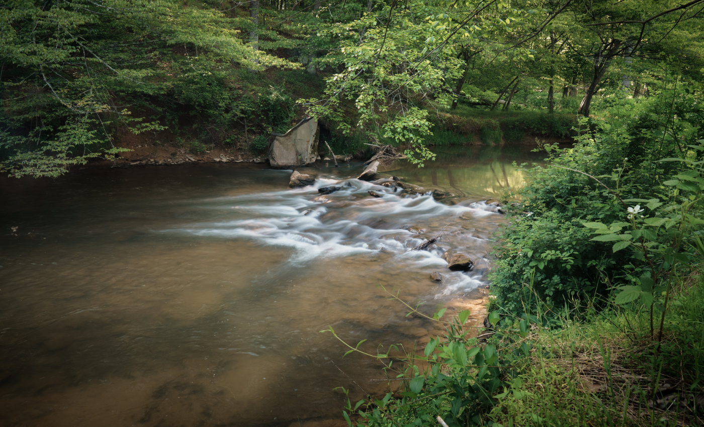
Great Seneca Creek near gaithersburg, MD - photo credit: John Brighenti CC BY 2.0
Flowing entirely through Montgomery County in Maryland, Seneca Creek is formed by the convergence of Great Seneca Creek and Little Seneca Creek. Nearly six miles long, the stream meets the Potomac River along the Chesapeake and Ohio Canal at Lock 24 (Rileys Lock), flowing beneath the Seneca Aqueduct. The stream’s mouth is the only location on the canal to feature both an aqueduct and a lock lift for boats, an ingenious feat of engineering completed in 1832. The Seneca Quarry, the source of the distinctive red sandstone for the Smithsonian Castle and other buildings in the capital, is also located near the creek’s mouth. Today, the waterway is a recreational hub. For starters, Seneca Creek State Park is situated along Seneca Creek – and the 16.2-mile Seneca Creek Greenway Trail parallels the waterway.
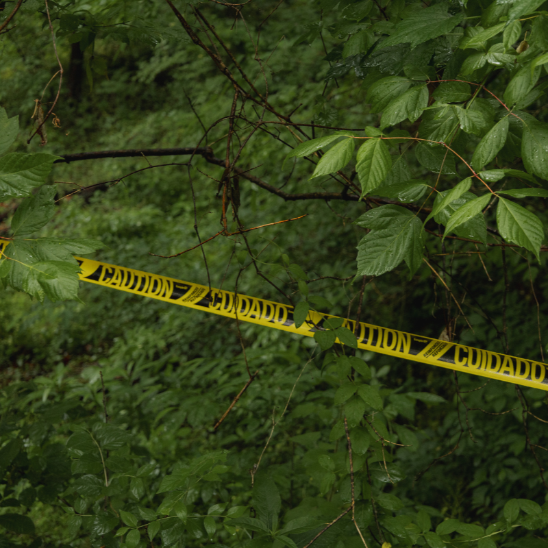
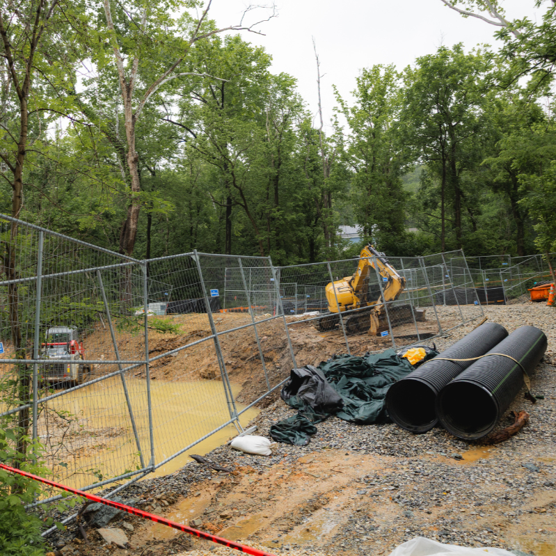


What you need to know about the January 2026 Potomac Interceptor sewage spill and how you can demand accountability and action.